The UBWARMM research project aims to transform urban water management by developing architect-friendly tools and strategies that address the challenges posed by urbanization and climate change. Our objectives include:
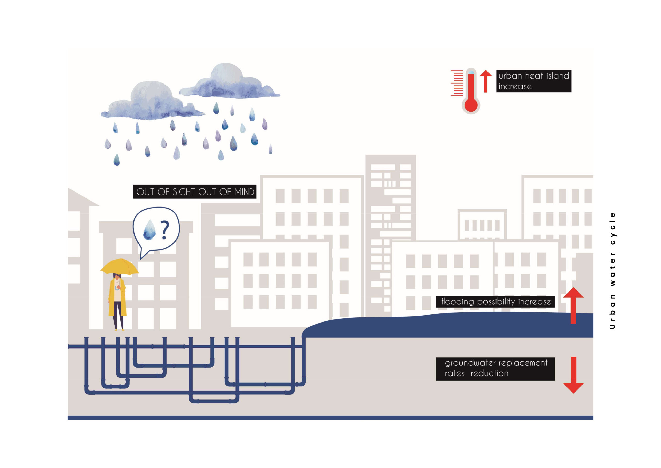
- Addressing Urban Water Cycle Disruptions
Mitigate impacts caused by increasing urban density, impervious surfaces, and insufficient green infrastructure. - Responding to Climate Change Challenges
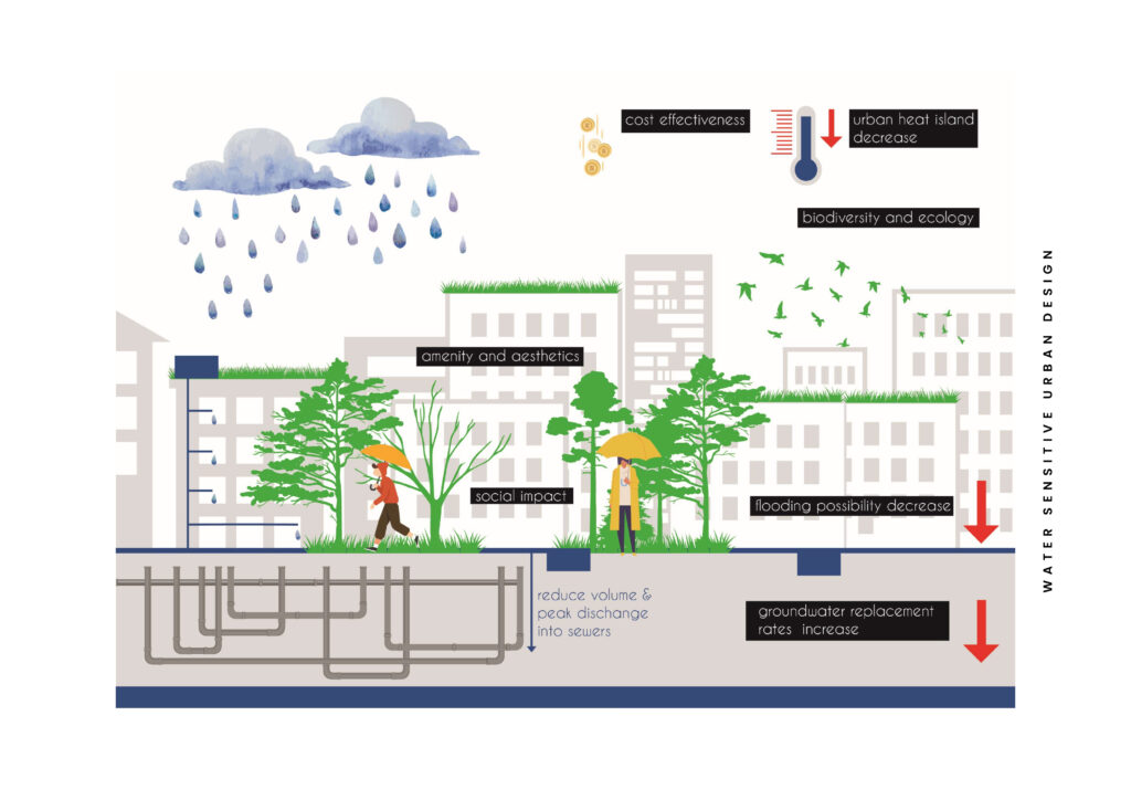
Adapt to intensified rainfall events and prolonged heatwaves, especially in warm, dry climates like Athens. - Supporting Water Sensitive Urban Design (WSUD)
Facilitate the adoption of WSUD principles within architectural and urban planning practices. - Developing Data-Driven, Architect-Friendly Tools
Create accessible modeling solutions for sustainable stormwater management and rainwater harvesting in cities. - Promoting Best Management Practices (BMPs)
Integrate green roofs, green facades, rain gardens, permeable paving, and cisterns into existing and new urban designs. - Enabling Climate-Sensitive Design
Estimate runoff, irrigation needs, and evapotranspiration using validated hydrological methods such as Penman-Monteith and SCS-CN. - Providing a User-Friendly Modeling Interface
Embed the modeling tools within the Grasshopper visual programming environment for seamless architectural workflow integration. - Empowering Informed Design Decisions
Generate quantitative data and visual outputs to help architects and planners optimize stormwater management strategies. - Demonstrating Scalability and Adaptability
Validate WSUD strategies through real-world case studies, starting with an urban block in Athens. - Encouraging Interdisciplinary Collaboration
Bridge gaps between architecture, landscape design, and engineering to foster holistic water management solutions. - Contributing to Urban Resilience and Sustainability
Embed water cycle thinking into urban planning to enhance the livability and sustainability of future developments. - Creating the MARSH Computational Model
Develop a 3D tool that enables architects to:- Simulate and visualize stormwater runoff scenarios.
- Assess the impact of BMPs on urban blocks.
- Compare alternative retrofit strategies using minimal input data.